West Bengal 2025

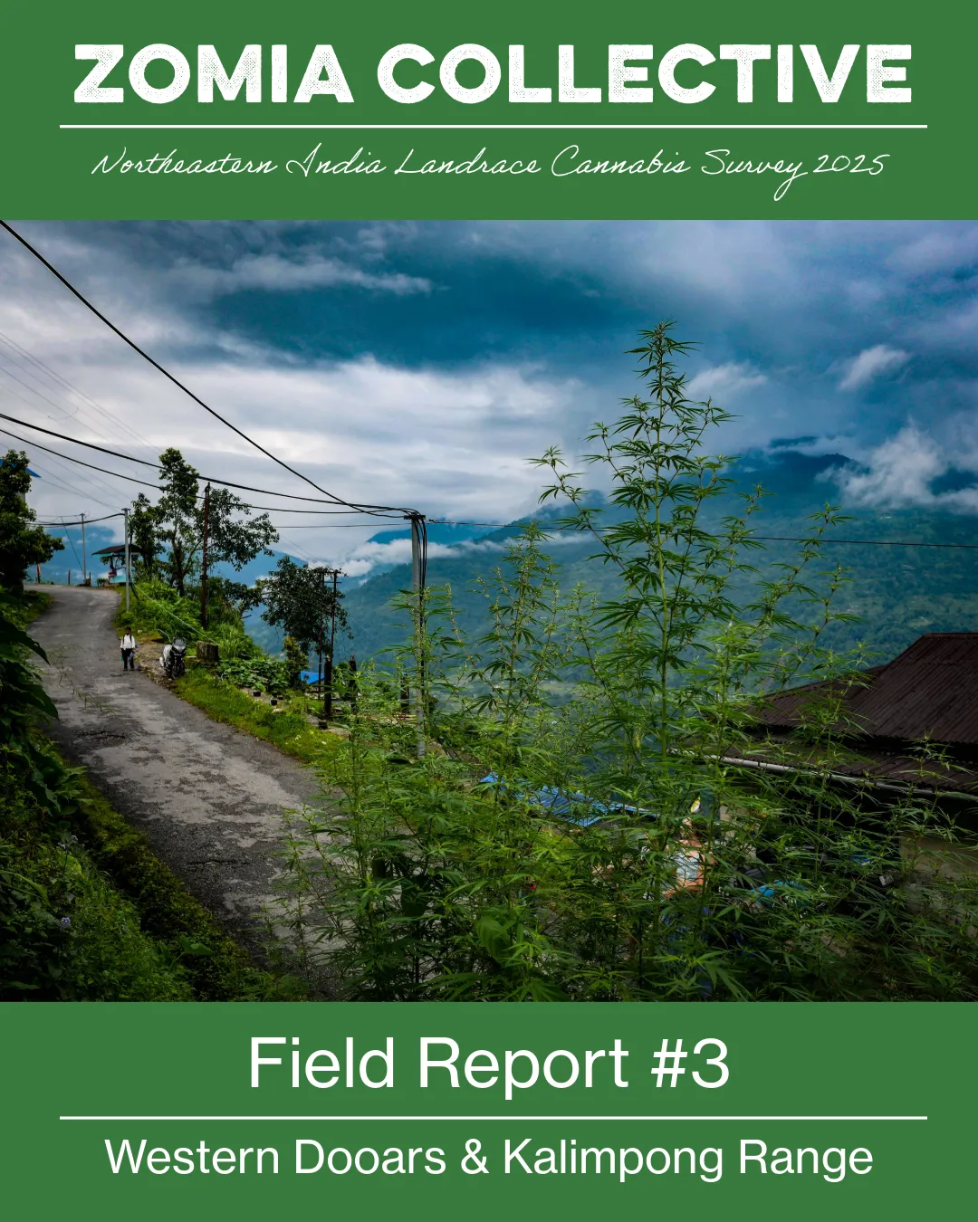
The North Bengal survey, Kolkata to the Dooars: the biggest single trip in the collection and the source of the numbered field reports.

22 May to 31 July 2025, approximate · India

Regions
West Bengal
Party
Éloïse, Isabella, Roy
Accessions
101
Localities
38
Elevation
25 to 1,155 m
Populations
54 landrace, 46 feral

Seed from this expedition went out in the West Bengal drop, January 2026.

Field reports

Nothing published from the field on this one yet.

Expedition map

One stop for each collecting day that carries a date, 22 days between 2 June and 31 July 2025, joined in order by straight segments across whatever lay between them. The rest of the route is not drawn.

Accessions

Conservation priority

  • High 53
  • Medium 45
  • Low 2

Unplaced2

Jalpaiguri7

Paharpur5

Haldibari1

Fulkardabri5

Washabari1

Bagrakote3

Sipchu5

Mal Bazar2

Suruk2

Paren1

Nagrakata2

Grassmore1

Looksan1

Dharanipur2

The Dooars11

Jaldapara2

Madarihat3

Purba Madarihat2

Uttar Khairbari1

Ballalguri1

Paschim Simlabari1

Uttar Simlabari1

Purba Simlabari1

Patlakhawa1

Hasimara2

Umacharanpur3

Badaitari2

Kauchandpara2

Paschim Deogaon3

Makrapara1

Hollong1

Mondalpara1

Bhandani1

Suripara1

Chamurchi-Laxmi Duar1

Madhabdanga1

North Bengal Plains15

Paschim Harmati1

Lataguri1

Baulbari1

101 carry an entry on landrace.wiki, where the full record and its sources sit.

Related writing

30 June 2025

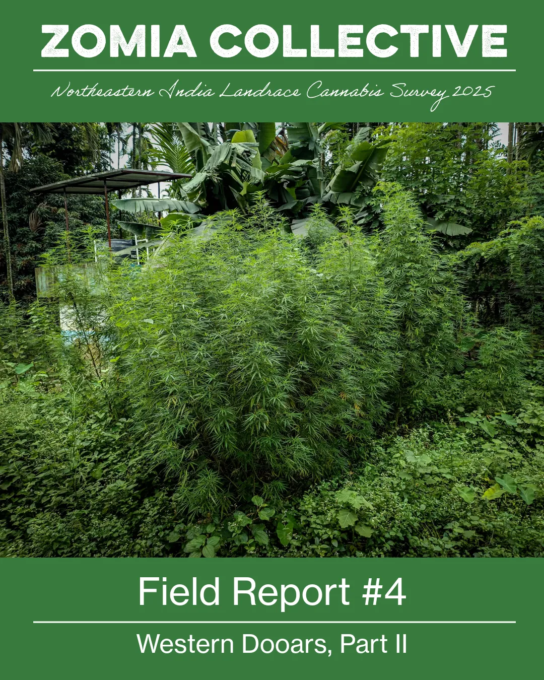
Field Report #4: Western Dooars Part II

We’ve entered the Jaldhaka corridor of the Western Dooars, a densely populated lowland tract on the eastern banks of the Jaldhaka river as it progresses towards the Brahmaputra river. Our zone of…

Field reports

What is missing

  • No photographs published for this trip yet. The staging set holds them and nothing has been through the panel.
  • No field notes yet. What was seen and smelled at each stand would sit in a field report, and none exists here yet.
  • 97 of the 101 accessions carry a collection date, so the map's route covers 35 of this trip's 38 localities and stops on 31 July 2025.
  • 2 of the 101 accessions carry no position the map can draw. Positions are never invented.
  • 3 of the 101 accessions carry no recorded elevation.
  • 1 of the 101 accessions carries no conservation rating.

Website preview

This site is still under construction

You are very welcome to browse everything here. Ordering is not yet open on this version of the site.

Ready to place an order?

Please use our current shop while we finish building this one.

Go to the current shop

Before you browse

Confirm your details

Choose your location and language, confirm your age and decide how this site may use your browser. One screen, saved on this device.

We use this to show whether checkout can deliver there. It is not legal clearance.

Saved as your preference. The site remains in English until translations are ready.

Age

Privacy choices

Necessary storage keeps these answers, your language, basket, account and chat working. Optional statistics count pages, searches, clicks, speed and who is reading right now on our own server. We set no advertising cookies and share nothing with another company.

Optional session recordings replay how a visit moves around a page, kept for 30 days on our own server. Typed text and the account, basket and checkout pages are left out.

Privacy policy and storage details